


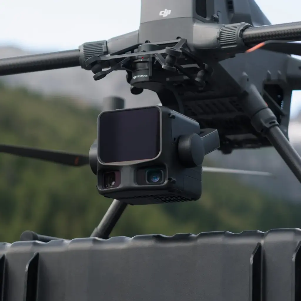

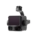

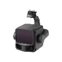

DJI Zenmuse L3 + DJI Care Enterprise Plus 1 year
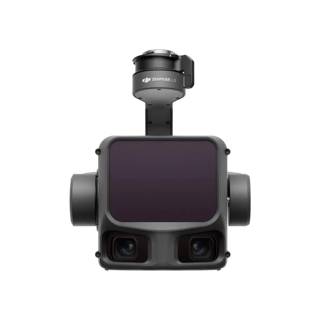
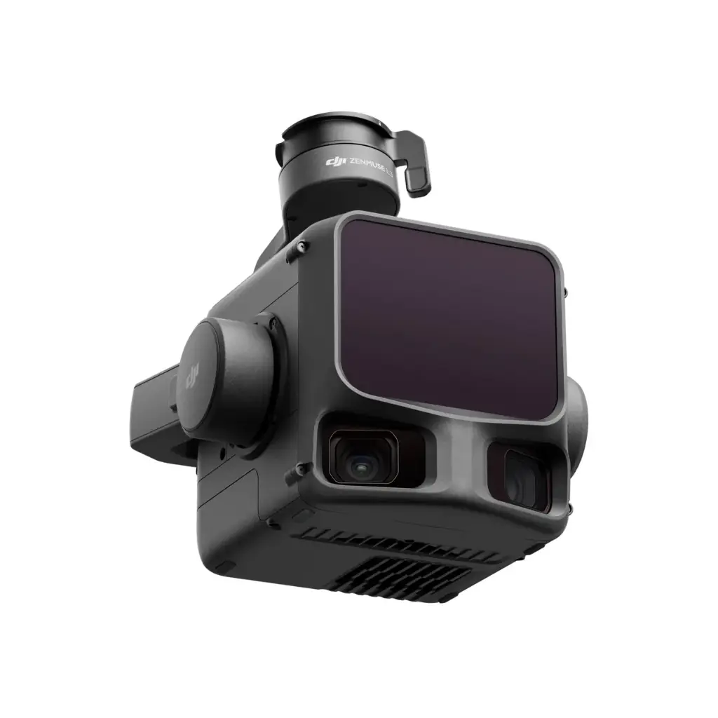
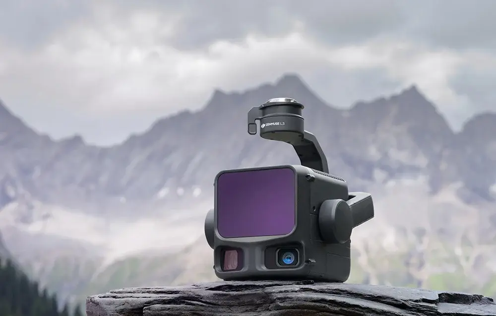
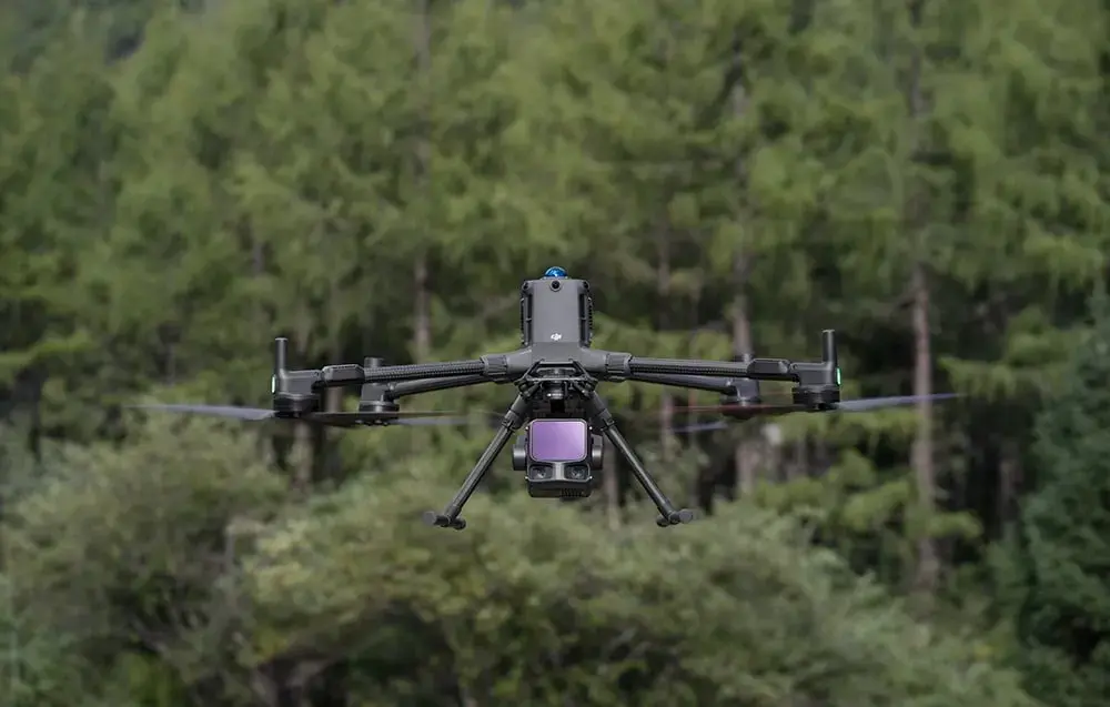
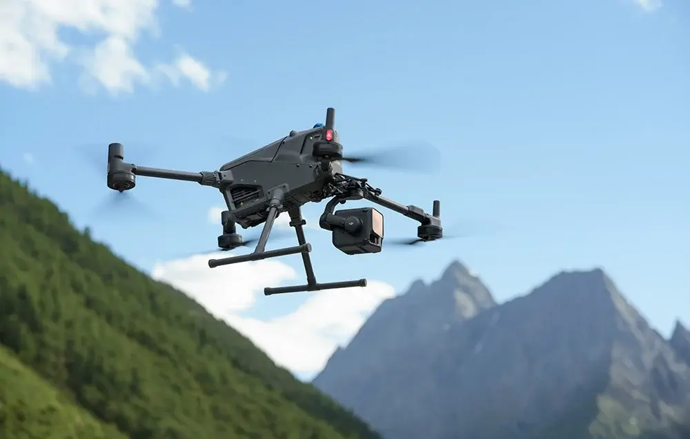
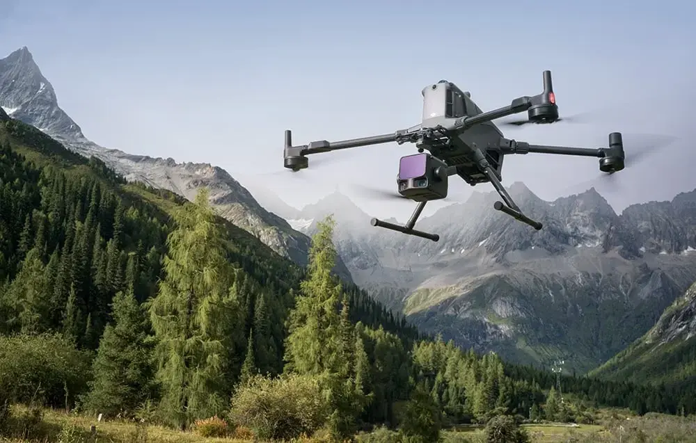
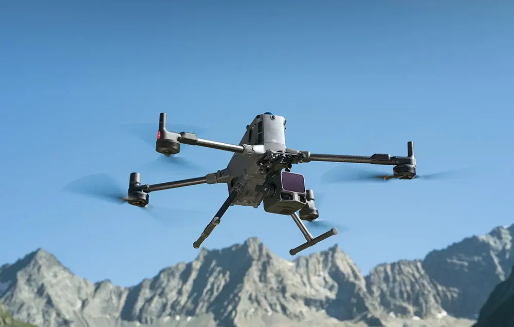
DJI Zenmuse L3 is a next-generation high-accuracy aerial LiDAR system designed for precise mapping and surveying in the most demanding conditions. By integrating a 1535nm rangefinder with a range of up to 950 m, dual 100MP RGB mapping cameras, a high-precision POS system, and a 3-axis gimbal, the device sets a new standard in its class. It delivers maximum measurement accuracy, excellent ground penetration, full integration with the DJI Enterprise ecosystem, and performance enabling coverage of up to 100 km² per day. Additionally, the camera comes with one year of DJI Care support. All of this makes the Zenmuse L3 perfectly suited for demanding tasks—ideal for sectors such as forestry, energy, mining and emergency survey.
Long Range, Wide Coverage
Zenmuse L3 achieves a maximum detection range of 950 m at a pulse rate of 100 kHz, tested under 100 klx ambient light and on objects with 10% reflectivity. The adjustable pulse rate allows for flexible power output and optimal adaptation to different operational scenarios. Typical flight altitudes of 300 to 500 m significantly expand single-flight coverage and boost mapping efficiency.
High Accuracy & High Penetration
With a laser beam divergence of just 0.25 mrad (1/e²), the spot size at the same range is about one-fifth that of previous model, enabling detection of smaller objects such as power lines and branches. Higher energy density results in stronger penetration capability, significantly increasing ground point density beneath vegetation and enabling high-accuracy reconstruction of complex terrains and structures. With maximum laser pulse emission frequency of 2 million pulses per second and support for up to 16 returns, Zenmuse L3 delivers highly accurate spatial reconstruction. Point cloud density and penetration capability can be adjusted to fit needs from high-accuracy mapping to complex environments.
Mission-Optimized Scanning Modes
Zenmuse L3 supports Linear, Star-Shaped, and Non-Repetitive scanning modes for different operational scenarios. Linear mode delivers consistent point-cloud distribution, making it ideal for high-accuracy terrain mapping. Star-Shaped mode offers a balance between accuracy, multi-angle scanning, and penetration capability, making it well-suited for forests or dense urban environments. Non-Repetitive mode provides multiple scan angles and wider coverage, optimized for power line inspections and other complex structural surveys.
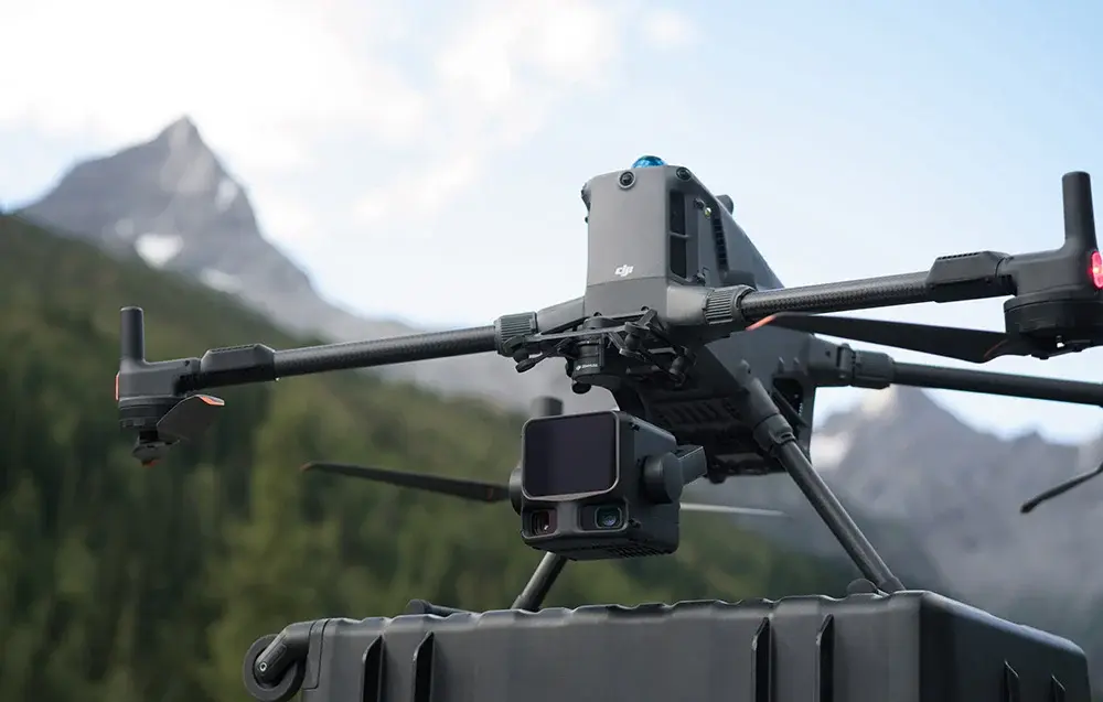
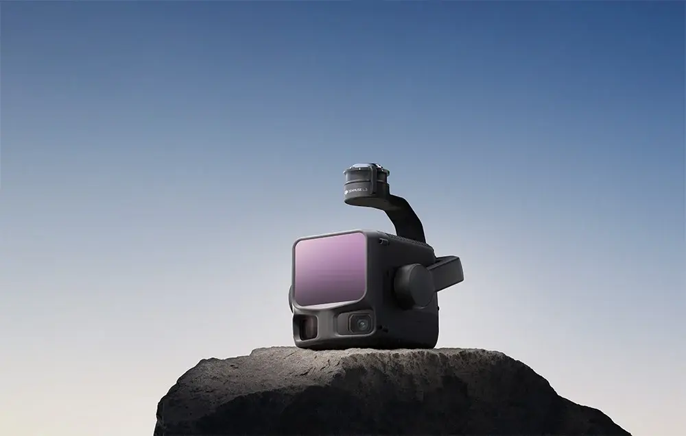
Dual 100MP RGB Mapping Camera System
Equipped with dual 100MP 4/3 CMOS RGB sensors and a mechanical shutter, Zenmuse L3 delivers significantly enhanced accuracy and efficiency. Pixel binning supports an effective 25MP resolution with larger pixel size, producing superior color reproduction even under poor lighting conditions. The dual RGB mapping cameras provide a horizontal field of view (FOV) of up to 107°, allowing each capture to cover a broader area. Even with a 20% LiDAR side overlap ratio, you can capture data for both digital orthophoto maps (DOM) and digital elevation models (DEM) in a single flight, thereby greatly improving operational efficiency.
High-Precision System & LiDAR Data Accuracy
The upgraded high-precision POS system achieves heading accuracy of 0.02° and pitch accuracy of 0.01° (post-processed, 1σ). The self-developed LiDAR delivers ranging repeatability of 5 mm at 150 m (1σ) and supports microsecond-level time synchronization. Each unit undergoes rigorous factory calibration to ensure consistently reliable survey results. Vertical accuracy is better than 3 cm at 120m altitude, better than 5 cm at 300 m, and better than 10 cm at 500 m, easily supporting mapping projects at 1:500, 1:1000, and 1:2000 scales. With dual 100MP RGB mapping cameras, Zenmuse L3 achieves a ground sample distance (GSD) of 3 cm even at a 300m flight altitude. Real-time position synchronization enables operation without ground control points (GCPs), ensuring high-quality imagery for precise mapping.
High Efficiency & Superior Penetration Capability
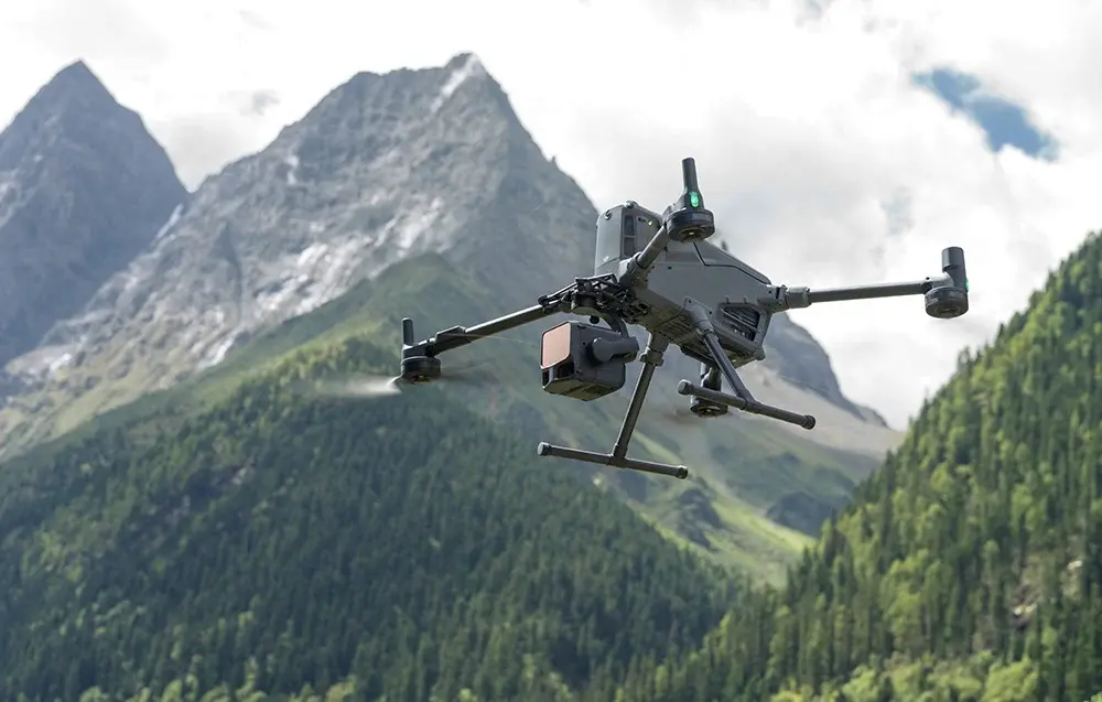
With a smaller laser spot and higher single-pulse energy, Zenmuse L3 offers superior penetration capability. In terrain mapping and similar applications, it captures more ground points with greater completeness, significantly improving the accuracy and integrity of terrain data for precise surface fitting and reconstruction. When mounted on DJI Matrice 400, Zenmuse L3 delivers outstanding efficiency. At a flight altitude of 300 m, a single flight can cover up to 10 km², enabling up to 100 km² of daily coverage. Simultaneously captures LiDAR and RGB data to generate a range of mapping products from a single flight, including DEM, DOM, and more.
End-To-End Solution
Zenmuse L3 seamlessly integrates with DJI's ecosystem to deliver an end-to-end mapping solution. From data acquisition and processing to application, this unified workflow is simpler to operate and easier to master than traditional multi-platform setups, helping users efficiently complete a wide range of mapping tasks. DJI Pilot 2 automatically recommends flight parameters based on user-defined routes and generates a Density Profile Chart and point cloud distribution charts before takeoff, enabling users to preview point cloud results. Supports real-time point cloud SLAM reconstruction with instant 2D and 3D point cloud previews during operations, allowing users to monitor progress and take measurements as data is being collected. DJI Pilot 2 supports split-screen viewing of any two data sources-point cloud, RGB, or Vision Assist-allowing users to freely combine displays to suit their needs. During Power Line Follow or when the RGB cameras face downward, Vision Assist provides real-time forward-facing visuals, reducing flight risks and improving overall efficiency and safety. Zenmuse L3 point cloud outputs are fully compatible with DJI FlightHub 2. Users can view and manage point cloud data in real time, easily generate detailed flight routes, annotate and share points of interest, and perform advanced line and area measurements directly in the cloud.
Advanced Data Processing & Analysis
DJI Terra features robust built-in PPK (Post-Processed Kinematic) capabilities, compatible with D-RTK 3 and standard base station data. The platform supports local PPK for RGB imagery and LiDAR, providing centimeter-level positioning accuracy even in areas with limited network connectivity or where RTK is unavailable. DJI Terra enables advanced Gaussian Splatting fusion-based reconstruction of point cloud and RGB data collected by Zenmuse L3, dramatically enhancing the realism and detail of 3D models. This capability broadens the application scope of LiDAR across diverse mapping scenarios and delivers higher-quality 3D model outputs. DJI Modify's Profile tool allows users to flexibly select cross-sectional areas of point cloud models for intuitive analysis of terrain variation, structural features, and elevation profiles.
Data Security
Zenmuse L3 supports CFexpress™ memory card encryption, enabling secure protection of stored data and preventing unauthorized access or data theft. Matrice 400 offers one-click log clearing and AES-256 encryption for video transmission, further ensuring data confidentiality.
DJI Zenmuse L3 Specification
Point Cloud System Accuracy | At 120m Flight Altitude: Vertical Accuracy: 3 cm (RMSE) Horizontal Accuracy: 4 cm (RMSE) At 300m Flight Altitude: Vertical Accuracy 5 cm (RMSE) Horizontal Accuracy: 7.5 cm (RMSE) |
Point Cloud Thickness | 1.2 cm@1σ (120m nadir flight altitude) 2 cm@1σ (300m nadir flight altitude) |
Combined Horizontal FOV (Dual RGB Mapping Cameras) | 107° |
RGB Ground Sampling Distance (GSD) | Average Value: 3 cm (300m nadir flight altitude) |
Weight | 1.60 kg (without single gimbal connector) |
Dimensions | 192×162×202 mm (L×W×H) |
Power | 64 W (typical) 100 W (max) |
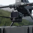
Supported Aircraft | DJI Matrice 400 (requires the Zenmuse L3 single gimbal connector) |
Ingress Protection Rating | IP54 |
Operating Temperature | -20° to 50° C (-4° to 122° F) |
Storage Temperature | -40° to 70° C (-40° to 158° F) |
LiDAR Specification
Laser Wavelength | 1535 nm |
Laser Beam Divergence | 0.25 mrad (1/e²) |
Laser Spot Size | Φ 41 mm@120 m (1/e²) Φ 86 mm@300 m (1/e²) |
Detection Range | 700 m@10% reflectivity, 350 kHz 950 m@10% reflectivity, 100 kHz 2000 m@80% reflectivity, 100 kHz |
Wire Detection Range | 21.6mm Steel Core Aluminum Stranded Wire: 300 m@100 klx, 350 kHz 18.4mm Black PVC Insulated Wire: 100 m@100 klx, 350 kHz |
Ranging Accuracy | Absolute Accuracy: ±10 mm Repeatability: < 5 mm (1σ) |
Minimum Effective Detection Distance | 10 m |
Laser Pulse Emission Frequency | 100 kHz, recommended flight altitude < 500 m 350 kHz, recommended flight altitude < 300 m 1000 kHz, recommended flight altitude < 100 m 2000 kHz, recommended flight altitude < 50 m |
Number of Returns | 4, 8, 16 returns (100 kHz, 350 kHz) 4, 8 returns (1000 kHz) 4 returns (2000 kHz) |
Cross-Cycle Calculation | 7 times |
Scanning Mode and FOV | Linear Scanning Mode: Horizontal 80°, vertical 3° Star-Shaped Scanning Mode: Horizontal 80°, vertical 80° Non-Repetitive Scanning Mode: Horizontal 80°, vertical 80° |
Laser Safety Classification | Class 1 (IEC 60825-1:2014) |
RGB Mapping Camera Specification
Sensor | 4/3 CMOS |
Lens | Equivalent Focal Length: 28 mm FOV: 73.3° (diagonal), 62° (horizontal), 41.2° (vertical) Aperture: f/2.0-f/11 |
Shutter | Mechanical Shutter: 2-1/1500 s (f/2.0), 2-1/2000 s (f/2.8-f/11) Shutter Count: 500,000 Electronic Shutter: 2-1/16000 s |
Photo Size | 100 MP: 12288×8192 25 MP: 6144×4096 |
Minimum Photo Interval | JPEG: 25 MP: 0.5 s 100 MP: 1 s RAW or JPEG + RAW: 1.2 s |
Video Specification | Video Format: MP4 (MPEG-4 HEVC/H.265) Resolution: 4K: 3840×2160@30fps FHD: 1920×1080@30fps |
Position and Orientation System (POS) Specification
GNSS Update Rate | 5 Hz |
POS Update Rate | 200 Hz |
Attitude Error | Yaw Angle: 0.02° (post-processed, 1σ) Pitch/Roll Angle: 0.01° (post-processed, 1σ) |
Positioning Accuracy | Horizontal Accuracy: 1.0 cm + 1 ppm (RTK fix) Vertical Accuracy: 1.5 cm + 1 ppm (RTK fix) |
Supported PPK Differential Data Formats | DAT: Generated in Base Station Mode by D-RTK 3 Multifunctional Station and D-RTK 2 RINEX: v2.1x, v3.0x RTCM: v3.0, v3.1, v3.2, v3.3 (protocols: MSM3, MSM4, MSM5, MSM6, MSM7) OEM: OEM4, OEM6 |
Gimbal Specification
Degrees of Freedom | 3-axis (pitch, roll, yaw) |
Angular Accuracy | ±0.01° |
Mechanical Range | Pitch: -135° to +73° Roll: -90° to +60° Yaw: -105° to +105° |
Controllable Range | Pitch: -120° to +60° Yaw: -80° to +80° |
Self-Check Method | Roll Axis: Self-check not required Yaw Axis: Checks using limit stop Pitch Axis: Self-check not required |
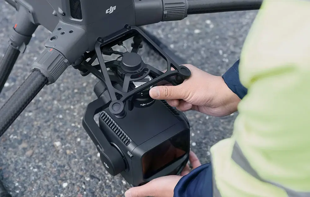
Mounting Method | Detachable DJI SKYPORT (Zenmuse L3 single gimbal connector) |
Data Storage Specification
Raw Data Storage | Photo/IMU/Point cloud/GNSS/Calibration files |
Standard Memory Card | CFexpress™ Type B Memory Card, sequential write speed 1500 MB/s |
Standard Card Reader | Read/write speed > 900 MB/s |
Software Ecosystem Specification
Data Collection | DJI Pilot 2 |
Data Processing | DJI Terra |
Data Application | DJI Modify |
Cloud Application | DJI FlightHub 2 |
Data Format | DJI Terra supports exporting point cloud models in the following formats: Standard Point Cloud Format: PNTS/LAS/LAZ/PLY/PCD/S3MB DJI Modify supports importing point cloud models in the following formats: Standard Point Cloud Format: LAS |
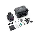
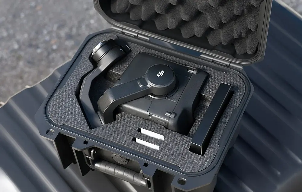
DJI Zenmuse L3 + DJI Care Enterprise Plus 1 year Package Includes
- Zenmuse L3 × 1
- DJI Care Enterprise Plus 1 year × 1
- Zenmuse L3 Lens Cap × 1
- CFexpress™ Type B Memory Card (1 TB) (brand may vary; actual product received prevails) × 2
- CFexpress™ Type B Card Reader × 1
- Zenmuse L3 Storage Case × 1
- Lens Cleaning Cloth × 1
- DJI Matrice 400 Carrying Case Insert (Zenmuse L3) × 1
- Zenmuse L3 Single Gimbal Connector × 1
- Screws and Tools × 1
- Zenmuse L3 Gimbal Damper (4 pcs) × 1