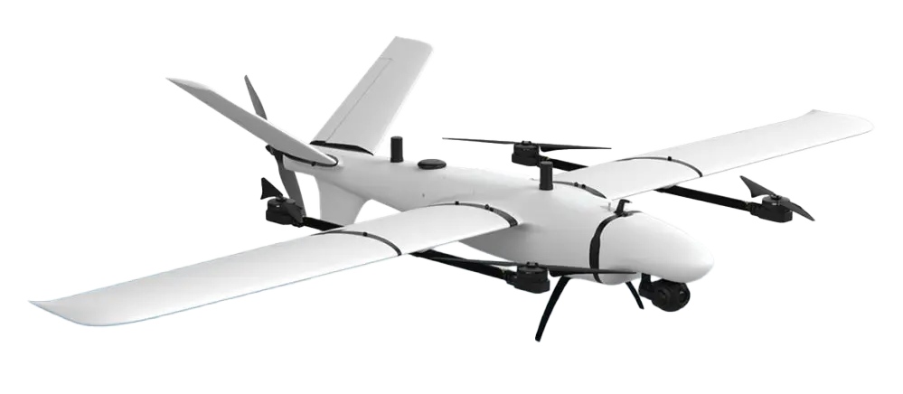
KOLIBER 2.0
professional photogrammetric data collection system
A
professional system for people who value safety and comfort.
The
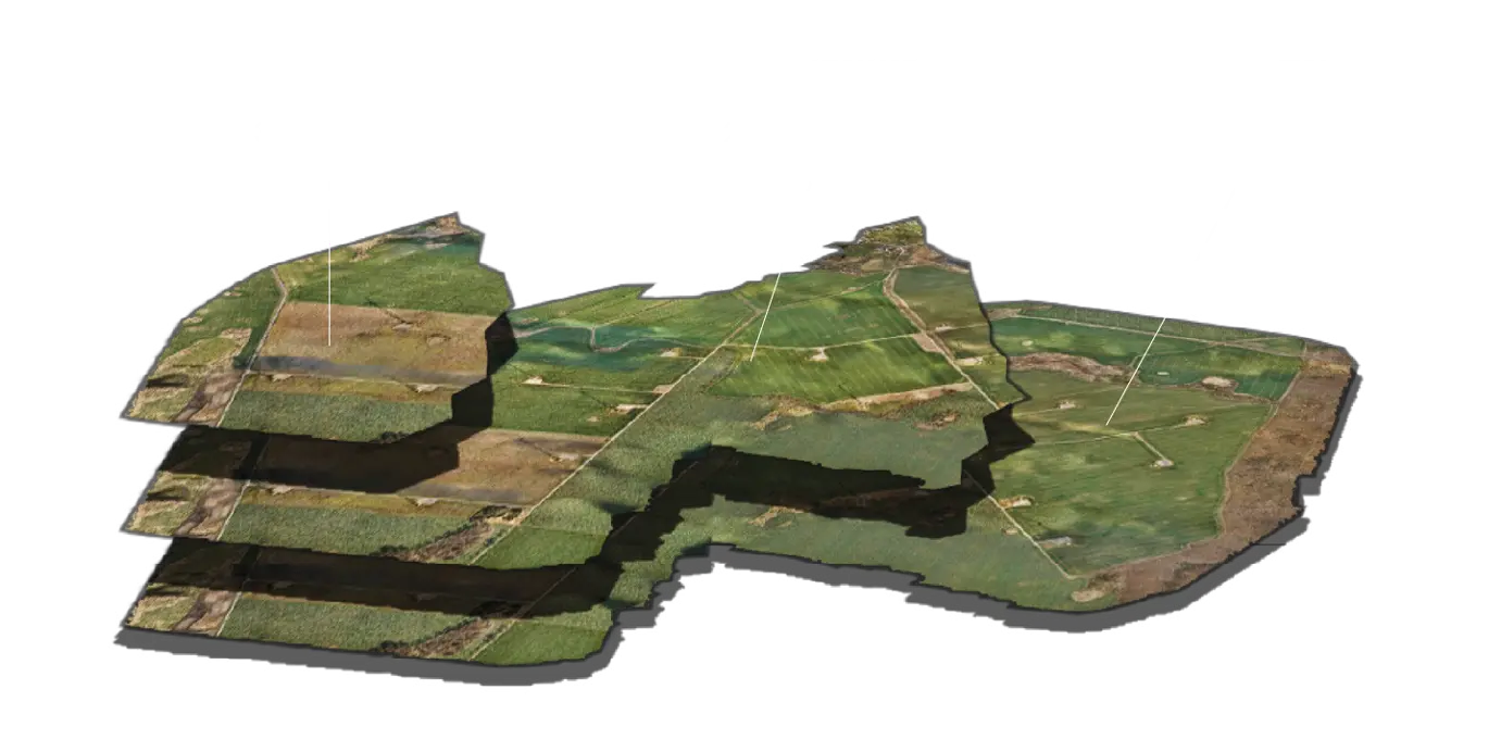
system provides photogrammetric data from large-area spaces.
Its
unquestionable advantage is its flight time of up to 90 minutes.
This
parameter, combined with the range of
telemetry data with a radius of 20 km puts the product
at the
top of unmanned system solutions. Koliber will allow you to measure
large
areas from one place, during single flight,
without
burdensome detours of the area and equipment redeployment.
KOLIBER 2.0
professional photogrammetric data collection system
A professional system for people who value safety and comfort.
The system provides photogrammetric data from large-area spaces.
Its unquestionable advantage is its flight time of up to 90 minutes.
This parameter, combined with the range of telemetry data with a radius of 20 km puts the product
at the top of unmanned system solutions. Koliber will allow you to measure
large areas from one place, during single flight,
without burdensome detours of the area and equipment redeployment.
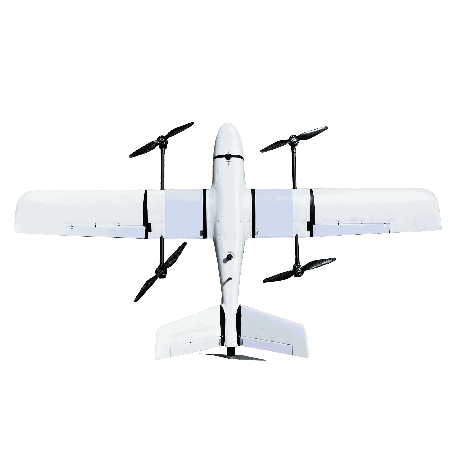
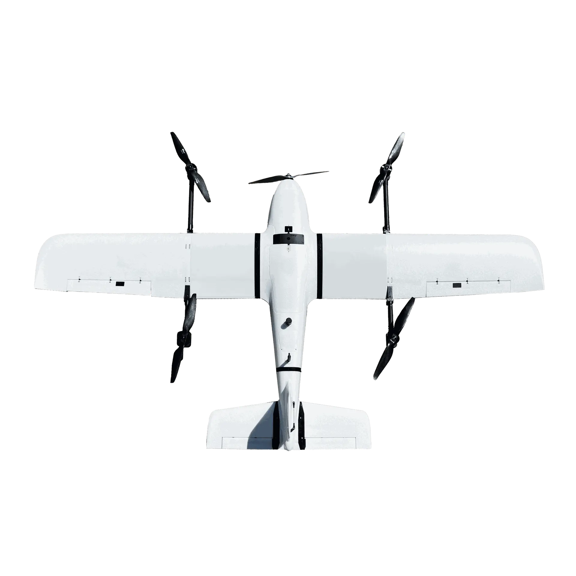
Compact VTOL solution
With the VTOL system, taking off and landing has never been easier. All this results in the fact that we can recommend the KOLIBER 2.0 system to anyone regardless of their piloting skills.

STRENGTH AND SAFETY
Proven and reliable electronics
confirmed by EMC tests

HIGH PERFORMANCE
Long flight time up to 120 minutes

VERTICAL TAKEOFF AND LANDING
Adapted to work in the most difficult conditions
FLIGHT TIME
Up to 120 min
MAXIMUM PAYLOAD MASS
1 kg
CRUISING SPEED
20 m/s (72km/h)
MASS (MTOM)
7 kg
ASSEMBLY TIME
10 min
TAKE-OFF/LANDING
Vertical Take-off and Landing (VTOL)
RANGE
180 km
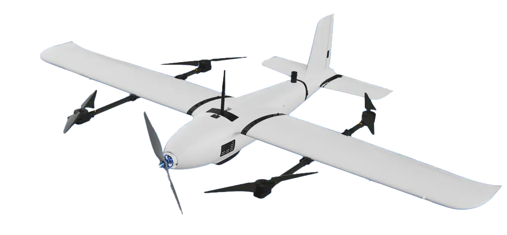
Flight time
do 120 min
Maksimum payload mass 1,5 kg
Cruising speed 20 m/s (72km/h)
Mass (MTOM) 16 kg
Assembly time 10 min
Takeoff / landing vertical
Range 180 km
Flight time
See a comparison of flight times versus the surface mapping capabilities of commercially available systems.
The chart includes a flight at an altitude of 120 AGL with lateral and longitudinal coverage of 70% in optimal weather conditions.
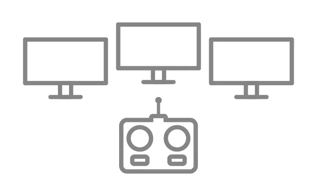
GCS - ground control station
Advanced modules and universal solutions compatible with popular unmanned aerial system mission planning applications.
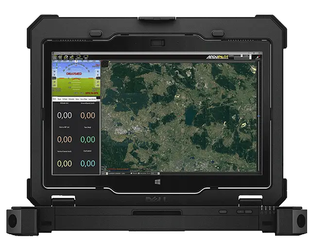
MISSION PLANNER
Opensource
Open-source software MP developed by Michael Oborne allows us to use our drones to their full potential. Due to huge number of functions, it is dedicated to advanced pilots.
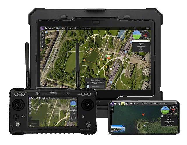
QGROUND CONTROL STATION
For those who are familiar with PX4
For people who have previously worked on the PX4 firmware. The application is available for windows, iOS and android.
ADDITIONAL ACCESSORIES
When basic functionality isn’t enough.
Choose accessories compatible with BZB UAS’s drones - increase possibilities of your drone.
GSM-B
Communication system between the Pilot and the unmanned aircraft - allows to perform flight operations in remote locations via the GSM network. It provides information about the aircraft's position, flight altitude, speed and direction, and transmits the view from the FPV camera. It also allows you to manage the flight route, plan and make changes to the mission, and perform take-off and landing operations.
ALTUM-PT
A precise set of 7 sensors, including one LWIR and one panchromatic, an excellent complement to existing solutions in the field of plant cover diagnostics.
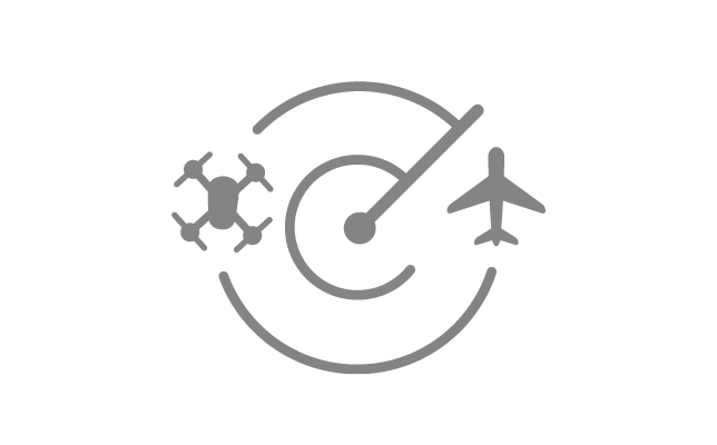
ADS-B
ADS-B is a system that provides the location of your "own" aircraft to others and air traffic control (ADS-B out), and also receives signals from other air traffic participants (ADS-B in).
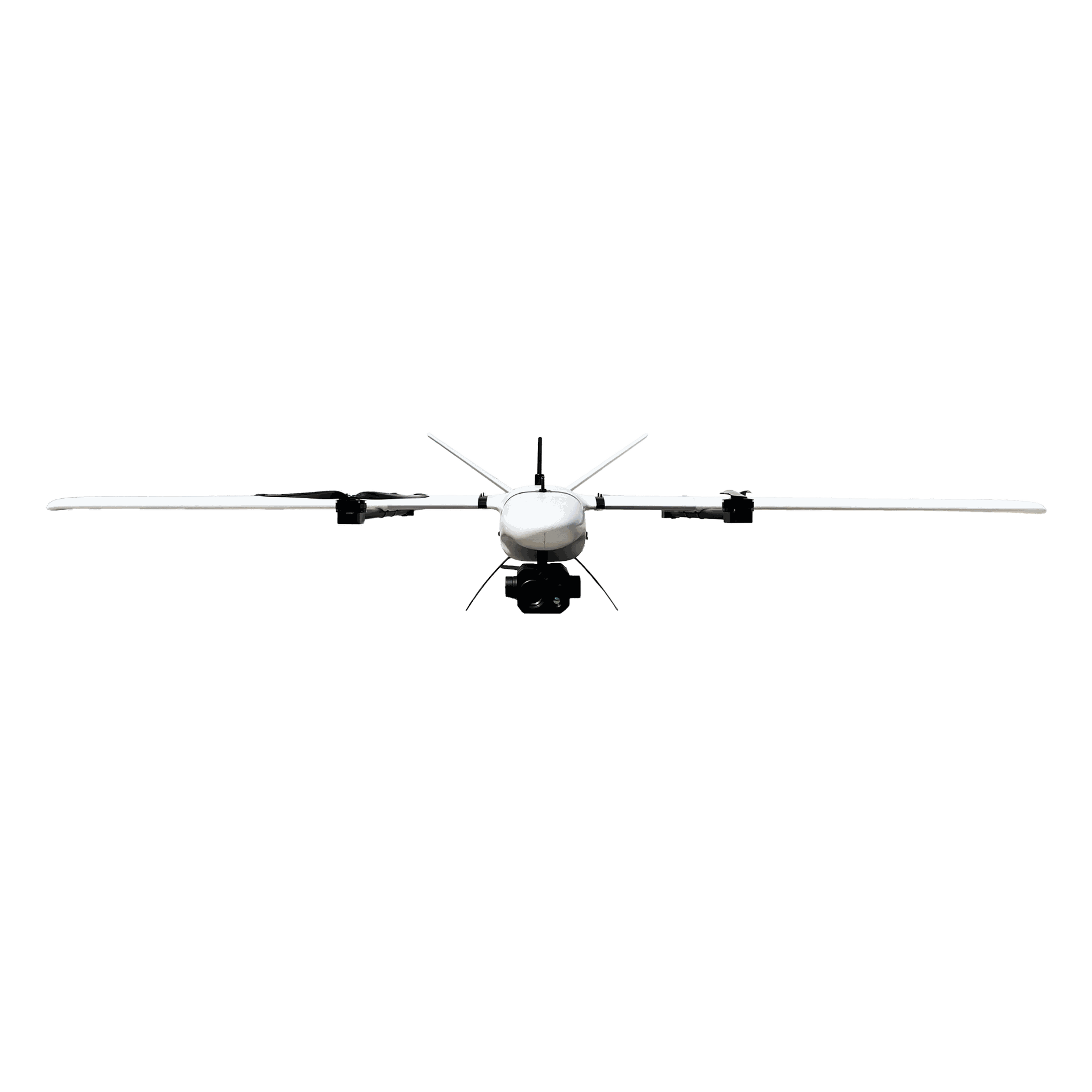
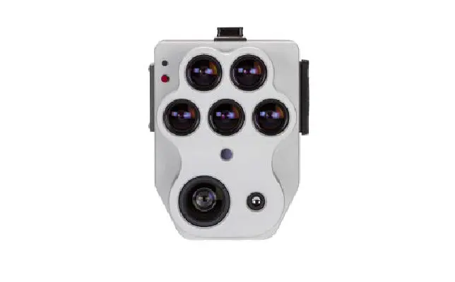
A40TR Pro
The head is equipped with 3 sensors. EO camera with 40x optical zoom, 640x512 thermal camera and laser rangefinder up to 3000m. Additionally equipped with an automatic object detection module.
SIM-B
Try your hand at a professional aviation simulator. Plan the mission, control parameters during the flight, and in dangerous situations, take control of the drone and land it manually.
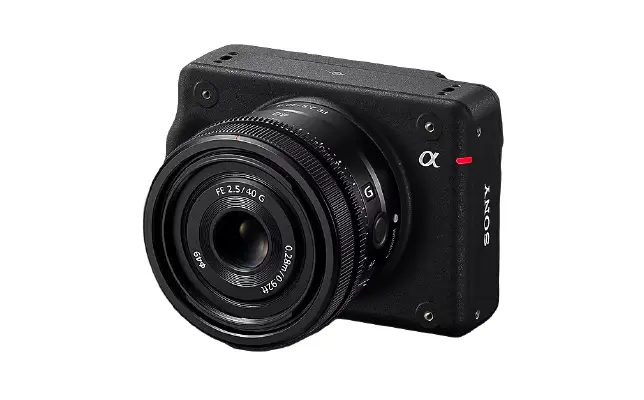
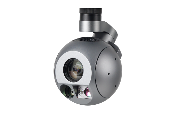
ILX-LR1
A game changer in photogrammetry thanks to the SONY and Exmor R™ CMOS matrix with a resolution of 61.0 MP and a 1" sensor. Fully integrated with BZB UAS aircraft.
POWER LINES
INSPECTION
APPLICATIONS
DO YOU WONDER WHERE YOU CAN USE THIS TYPE OF DRONE?
See what tasks BZB UAS specialists use the KOLIBER drone for day-to-day!
APPLICATIONS
HAVE YOU WONDERED WHERE YOU CAN USE THIS TYPE OF DRONE?
See what specialists from BZB UAS used Koliber drones for