

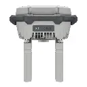
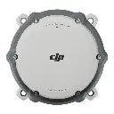
DJI D-RTK 3 Multifunctional Station
The new D-RTK 3 Multifunctional Station integrates high-performance antennas and receiver modules capable of tracking and resolving data from major global satellite navigation systems, and it supports multiple data transmission links. With these outstanding features, it can serve as a base station to provide centimeter-level positioning for multiple drones simultaneously or extend the operational range of drones in relay station mode. Additionally, the new rover station mode, combined with the DJI Enterprise app and DJI Terra, provides a comprehensive solution for high-precision aerial surveying applications, ensuring a secure and accurate operation.
Serves as a base station for centimeter-level positioning of multiple drones simultaneously, or as a relay station to extend drone range.
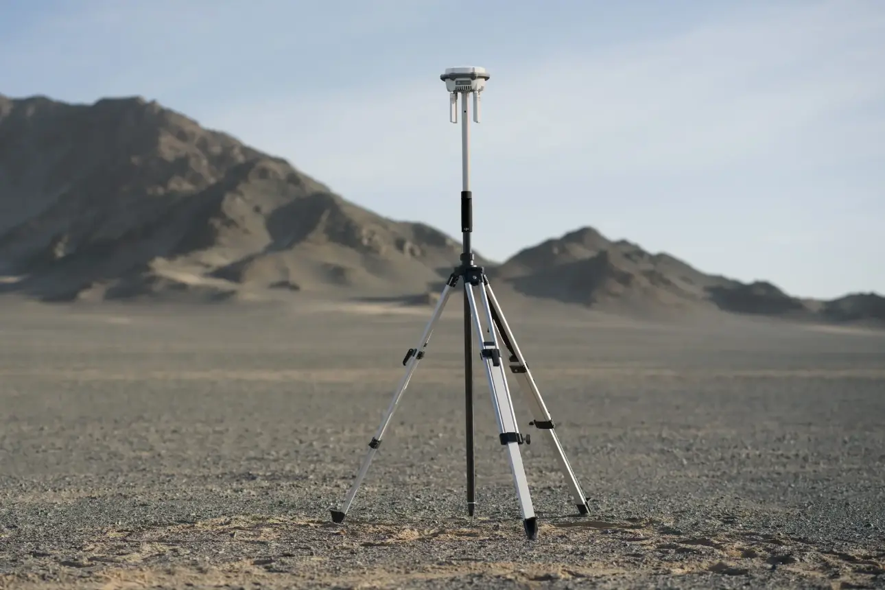
The tripod and pole shown in the picture are not included in the set.
They must be purchased separately.
GNSS Receiver Specification
GNSS Frequency | GPS: L1C/A, L2C, L5 BDS: B1I, B2I, B3I, B1C, B2a, B2b GALILEO: E1, E5a, E5b, E6 GLONASS: L1, L2 QZSS: L1C/A, L2C, L5 L-Band |
System Accuracy* | Base Station Mode (Broadcast Mode) and Relay Station Mode Base Station Accuracy: Single Point Accuracy (Uncalibrated): Horizontal: 1.5 m (RMS) Vertical: 3.0 m (RMS) Satellite-Based Differential Accuracy: Convergence Time: 20 mins Horizontal: 30 cm (RMS) Vertical: 40 cm (RMS) Network RTK Calibration**: Horizontal: 1.0 cm (RMS) + 1 ppm Vertical: 3.0 cm (RMS) + 1 ppm Rover Station Mode RTK Accuracy (Fixed Survey)*: Horizontal: 0.8 cm (RMS) + 1 ppm Vertical: 1.5 cm (RMS) + 1 ppm RTK Accuracy (Tilt Survey)***: Angle Range: 0° to 60° Horizontal: 8 mm + 0.7 mm/° tilt (accuracy <2 cm within 30°) * Measurement accuracy depends on various factors. This value is obtained under normal conditions with an unobstructed view, good satellite distribution, low ionospheric activity, and no electromagnetic interference or multipath effects. ** Base station calibration coordinate accuracy depends on various factors. For surveying, high-precision flight paths, etc., it is recommended to calibrate during periods of inactive ionosphere, in open, unobstructed environments with no electromagnetic interference or multipath effects, using four or more GNSS systems. *** Intense vibrations and rapid rotations can affect the accuracy of the inertial measurement unit. |
Satellite-Based Precise Point Positioning* | Supported Frequencies: BDS B2b, GALILEO E6, L-BAND** Convergence Time: 20 mins Horizontal: 30 cm (RMS) Vertical: 40 cm (RMS) * Measurement accuracy depends on various factors. This value is obtained under normal conditions with an unobstructed view, good satellite distribution, low ionospheric activity, and no electromagnetic interference or multipath effects. ** Will be supported in later versions. |
Differential Data Transmission Format | When used as a base station or relay station, records RTCM 3.2 raw observation data in DAT format. In rover station mode or in calibration mode for base and relay stations: 1. Supports RTCM v3.0, v3.1, v3.2, v3.3, MSM4, MSM5, MSM6, MSM7 protocols. 2. It is recommended to use receivers that support four or more GNSS systems. |
Initialization Reliability | >99.9% |
Video Transmission Specification
Video Transmission System | O4 Enterprise |
Operating Frequency | Relay Station Mode: O4: 2.4 GHz/5.2 GHz/5.8 GHz Base Station Mode: O4: 2.4 GHz/5.8 GHz Rover Station Mode: BLE: 2.4 GHz Operating frequency allowed varies among countries and regions. Please refer to local laws and regulations for more information. |
Transmitter Power (EIRP) | 2.4000 GHz to 2.4835 GHz: <33 dBm (FCC) <20 dBm (CE/SRRC/MIC) 5.150 GHz to 5.250 GHz: <23 dBm (CE/FCC) 5.725 GHz to 5.850 GHz: <33 dBm (FCC) <30 dBm (SRRC) <14 dBm (CE) |
Bluetooth | Protocol: Bluetooth 5.1 Frequency: 2.400 GHz to 2.4835 GHz Transmitter Power (EIRP): <10 dBm |
Max Transmission Distance (unobstructed, free of interference) | Base Station Mode: 1. Between D-RTK 3 and Matrice 400: FCC: 40 km SRRC/CE/JP: 20 km 2. Between D-RTK 3 and other aircraft: FCC: 15 km SRRC: 12 km CE/JP: 8 km Rover Station Mode: Between D-RTK 3 and mobile devices: 30 m Measured in an unobstructed outdoor environment free of interference. The above data shows the farthest communication range for one-way, non-return flights under each standard. Always pay attention to RTH reminders in the app during your flight. |
Max Transmission Distance in Relay Station Mode (unobstructed, free of interference) | FCC Between the aircraft and the relay station: 25 km Between the relay station and the remote controller/DJI Dock 3: Recommended within 1 km; maximum 3 km (unobstructed, free of interference) SRRC Between the aircraft and the relay station: 12 km Between the relay station and the remote controller/DJI Dock 3: Recommended within 1 km; maximum 3 km (unobstructed, free of interference) CE Between the aircraft and the relay station: 10 km Between the relay station and the remote controller/DJI Dock 3: Recommended within 300 m; maximum 1 km (unobstructed, free of interference) * The relay station should be deployed only after a field survey. If there is interference or obstruction at the chosen location, and the survey result is "Not suitable for deploying dock," "Unable to use RTK positioning," or indicates other unsuitable conditions, the site is not recommended. This may affect functions such as relay station upgrade and log download. It is recommended to install the relay station on rooftops, tower tops, or other elevated, unobstructed, and interference-free locations. ** Measured in an unobstructed outdoor environment free of interference. The above data shows the farthest communication range for one-way, non-return flights under each standard. Always pay attention to RTH reminders in the app during your flight. The relay station should be placed in an elevated, unobstructed location to ensure clear communication between the remote controller and the aircraft. |
Max Transmission Distance (unobstructed, with interference) | Strong interference: City centers, approx. 1.5-5 km Medium interference: Suburban areas, approx. 5-15 km Micro interference: Remote areas/seasides, approx. 15-25 km Data is tested under FCC standards in unobstructed environments of typical interference. Only to serve as a reference and provides no guarantee as to the actual flight distance. |
Max Transmission Distance (obstructed, with interference) | Low Interference and Obstructed by Buildings: approx. 0-0.5 km Low Interference and Obstructed by Trees: approx. 0.5-3 km Data is tested under FCC standards in unobstructed environments of typical interference. Only to serve as a reference and provides no guarantee as to the actual flight distance. |
Relay Station Range Extension Effect | Relay Station Performance Enhancement: Severe obstruction (e.g., buildings, mountains): 3x to 5x performance improvement Mild obstruction (e.g., trees, glass): 1x to 3x performance improvement The relay station must be deployed in an elevated, unobstructed location free of interference. |
Antenna | OcuSync 4 directional antennas× 4, 2T4R The antenna uses a standard reverse polarity SMA connector. |
Electrical Properties Specification
Power | Relay Station: 14.5 W* Base Station: 7 W Rover Station: 6.2 W * Maximum power consumption without heating. When connected to a USB-C power supply above 9V, maximum power consumption with heating is 36.5 W. |
Power Output Port | USB Type-C |
Supported Power Adapter | USB PD 3.0 protocol, output voltage 9V to 15V adapter (e.g., DJI 65W Portable Charger) When using a non-recommended charger, such as a charger with 5V-output, the D-RTK 3 can be charged only after powering off. |
Battery Operating Time (Under Normal Temperature)* | Relay Station: 4 hrs Base Station:7 hrs Rover Station: 10 hrs * Battery performance may decrease in low temperatures; it is recommended to use power adapters that support the USB PD 3.0 protocol. |
Ethernet Cable Requirements | Ethernet not supported |
Battery | LiPo Capacity: 6500 mAh Energy: 46.8 Wh |
Physical Characteristics
Operating Temperature | -20° to 55° C (-4° to 131° F) 1. In normal temperature environments, charging power will be limited if the device shell temperature exceeds 48°C (118.4°F). Full power charging will resume after cooling. 2. After storage/use in low temperatures, the device needs to be brought to a normal temperature environment and allowed to warm up until the internal battery temperature is >0°C (32°F) before charging. 3. After storage/use in high temperatures, the device needs to be brought to a normal temperature environment and allowed to cool down until the internal battery temperature is <45°C (113°F) before charging. |
Protection Rating | IP67* * Please ensure all rubber seals are securely installed for optimal performance. |
Drop Resistance | 2 m drop with pole |
Dimensions | 163 mm × 89 mm (without OcuSync Directional Antennas) |
Weight | Approx. 1.26 kg (2.78 lbs) |
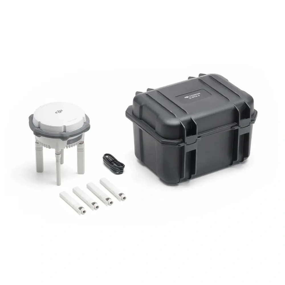
DJI D-RTK 3 Multifunctional Station Package Includes
- D-RTK 3 Multifunctional Station × 1
- Spare OcuSync Directional Antennas × 4
- USB-A to USB-C Cable× 1
- Storage Case × 1