Assessing damage caused by game animals
In this article you will learn how damage caused by game animals is assessed by the hunting club's commission in Poland, what this involves and why such an assessment may not be favourable to the farmer. You will also see how drones can help you obtain fair compensation (even more than 200% higher) by measuring losses from the air using GPS coordinates and computer algorithms.
But first, let's look at what changed after the 2018 amendments.
Compensation for crop damage caused by game – the 2018 amendment of the law
In 2018 the procedure for assessing damage caused by game was updated twice.
First, in March 2018 the Polish parliament passed amendments to the Hunting Law, concerning among other things the composition of the damage assessment commission. At the same time, the Compensation Fund promised in 2016 was abandoned.
The changes sparked many protests, including dissatisfaction among village heads, who were to take part in assessing losses but often lacked sufficient knowledge or had to make decisions unfavourable to farmers or hunters they knew. They also received no payment.
On 22 August 2018 another amendment to the Hunting Law came into force (and still applies). Village heads on the commission were replaced by representatives of the agricultural advisory centres (ODR).
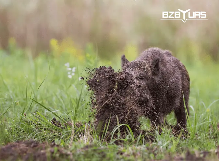
The procedure for assessing damage caused by game
Protecting farmland is usually the responsibility of the hunting clubs that lease or manage hunting districts. In special cases, when damage occurs outside a hunting district, it may also be the State Treasury (the marshal's office) or the State Forests.
In a typical case, you will claim compensation from the hunting club.
- Check which hunting club manages the hunting district where your land is located. Each voivodeship city has a regional board of the Polish Hunting Association (PZŁ) with contact details for individual hunting clubs. Each regional board has a person who specialises in helping to find the manager assigned to the place where your farmland is located.
You can also download the mBDL app from the App Store and Google Play, which contains data on hunting districts and who manages them. - Within 7 days of the damage occurring, submit a request to the club to assess the losses. Hunting Law (Prawo łowieckie).
- Since 22 August 2018, requests are accepted by hunting clubs, not by village heads or municipal offices.
- The law does not specify an exact form, but the request must include the following information:
1. Full name and address, or company name and registered address,
2. telephone number,
3. location of the damage,
4. type of damaged crop. You can find a sample request (in Polish) at https://www.lasy.gov.pl/pl/informacje/aktualnosci/ruszaja-szkolenia-z-zakresu-szacowania-szkod-lowieckich/wniosek-o-szacowanie-szkod-lowieckich.pdf
You can submit the request in writing or by e-mail. - Within 3 days you will be informed of the date of the assessment. The club representative may notify you in writing, by e-mail or by text message to the phone number given in the request.
- On the agreed date, but no later than 7 days after you submit the request, a commission will visit you to assess the damage. The commission consists of a club representative, an ODR representative (if the commission notifies the ODR – their participation in the assessment is recommended) and you, the farmer.
- The commission will draw up a report, and within 30 days the hunting club will pay you compensation for the assessed damage.
- If the assessment report is unsatisfactory, you should immediately appeal to the competent forest district manager. The forest district commission has 7 days from the date of the appeal.
The report will include information such as the species of game that caused the damage, the type and condition of the crops, the acreage, and the assessed area and percentage of destroyed crops within that area.
On this basis, the commission calculates the compensation using the formula:
[Crop area] x [% of damage] x [Yield per 1 ha] x [Purchase price]
This type of estimate can, however, be inaccurate. With irregular damage patterns, which are often invisible from the ground, it is hard to determine their area and the percentage of damaged crops accurately.
In addition, the commission may reduce the amount of compensation for damage caused by game by the harvesting, transport and storage costs not incurred by the farmer. Many farmers find this outrageous, because the nature and distribution of damage does not always reduce harvesting costs. Sometimes, however, the commission leaves this field in the report blank.
Precise measurements and your own documentation
The farmer has the right to attach their own documentation and statements to any report. They can also appeal against the commission's decision. Evidence documenting the damage may include photos, videos and orthophoto maps made by drones.
If the farmer has more accurate measurements than those made by the hunter, they have a chance to increase the compensation significantly. Some damage cannot be seen from the ground, especially in tall crops. You can read about the benefits of using unmanned aircraft and drones in agriculture on our website.
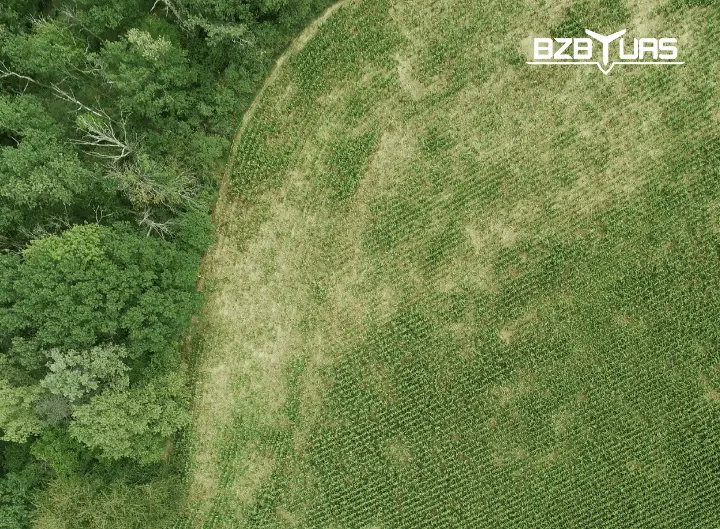
Assessing game damage to crops with a drone
Relying on the estimates of the commission and the hunting club has several drawbacks.
Above all, farmers often complain about inaccurate measurements that lead to lower payouts. In practice, the nature and location of damage make a precise estimate difficult from the ground (from the eye level of an adult), even with the best intentions.
In addition, not all damage is noticed straight away. Often, despite every effort, fencing the field and regular inspections, the extent of the damage turns out to be overwhelming – and the farmer only finds out when sitting in the combine harvester, when it is too late to claim compensation.
Drones solve the problem of underestimated crop damage.
- From an altitude of about 100 metres, all damage is visible, even deep inside the field.
- Drones can survey fields with crops that are hard for people to access – sunflower, rapeseed, maize.
- The map of the field, together with the damage, is processed by computer software. The estimate of the damaged area is accurate and free from the hunter's subjective judgement.
- Measurements are very fast – the flight takes about an hour (depending on the size of the field), and a full report showing the condition of the crops and the extent of the damage is generated within 24 hours.
The flight and field scanning
Once you decide to use a drone company, the field mapping procedure is as follows:
- Contact the drone company. The company will ask you for information about your crops: location, field area, possible drone take-off and landing sites, and a convenient date and time to meet.
- On the agreed date, the company will carry out the flight in your presence. A drone with a special camera that records geolocation will take hundreds of photos from an altitude of about 100 metres.
- After mapping, the photos are processed in computer software and combined into a single map of the whole area.
- On the map prepared this way, the experts mark all areas damaged by game – manually or using an accurate computer algorithm.
- This way, within 24 hours of the flight, a full report is generated with all damage caused by game precisely marked.
Such a report can show losses up to half as large again as the hunter's estimates.
- The damaged area is marked much more precisely, using GPS coordinates.
- From the air, the drone also scans losses invisible from a human perspective, e.g. deep inside the field or in tall crops such as maize.
Depending on the company preparing your game damage report, it may take the form of:
- an online high-resolution map – with zoom, pan and area measurement to an accuracy of 1 cm (the most convenient and precise),
- large-format printed maps – a physical, “paper” version of the digital map,
- files with geotagged photos and measurements – for further processing in GIS software or Farmworks
- (as a supplement) videos and recordings of specific parts of the field
If you decide to work with a drone company, it is advisable not to delay ordering the flight. The report is generated only the day after the flight, and the flight itself may not be available immediately, e.g. due to weather conditions. The hunting club commission will visit you within 7 days of your request.
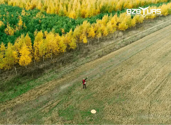
Article prepared in cooperation with Solaris Zenon Masiarz
Need help with assessing damage caused by game?
Does the commission's decision differ from your expectations?